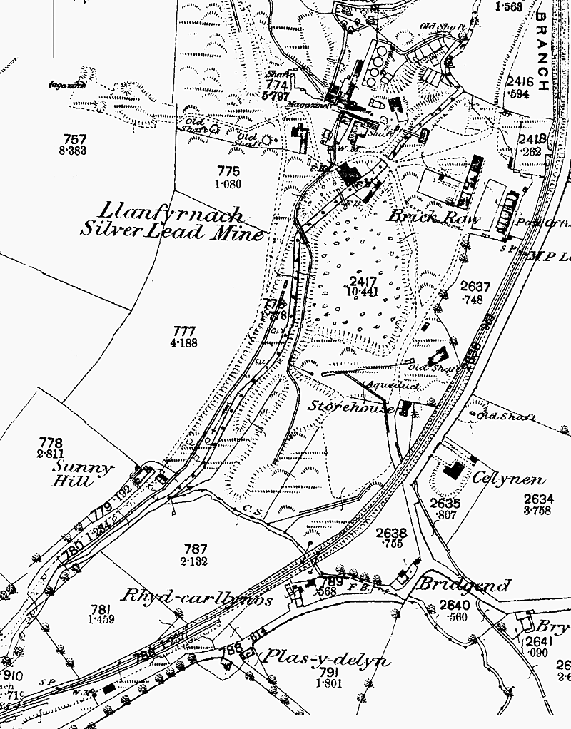
1890 1:2500 OS Map of Llanfyrnach Mine. The station is just visible in the bottom left corner of the map. At this date there is no evidence of any siding serving the mine.
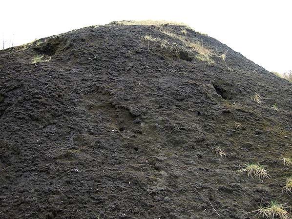
Spoil heap - the soil here is almost black and supports only a few lead-tolerant plants; rabbits seem to have no problem with it and the mounds are full of their burrows.
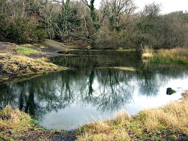
View west rom the top of the highest spoilheap - many of the old mine workings along the
valley side are lost or hidden among trees and vegetation.
Looking north from Number 1 shaft
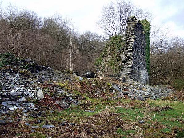
Ruins and remains of this silver-lead mine are scattered about on privately-owned land along
the river valley, gradually disappearing under vegetation. This is the area of Chain Shaft
that was worked in the final period of the mining operations in the 1860s/70s.
By peering down into a surface level opening, masonry-lined tunnels about 2-3 feet in height can be seen leading either way in a roughly north-south direction. Number 1 shaftThe shaft here became the focus of operations in the 1860s when a steam-driven pumping engine was installed by Thomas Turner from Wolverhamption. However water continued to
be a problem and more pumps were soon required

 Looking north from Number 1 shaft
 Ruins and remains of this silver-lead mine are scattered about on privately-owned land along
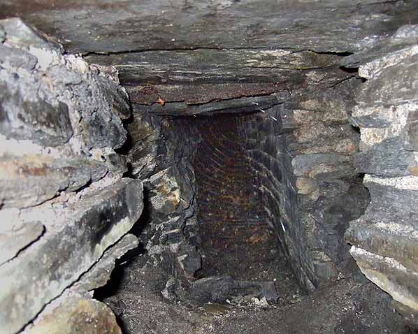
 Number 1 shaftThe shaft here became the focus of operations in the 1860s when a steam-driven pumping engine was installed by Thomas Turner from Wolverhamption. However water continued to
 Home Page